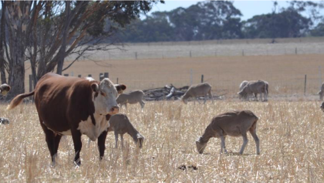

Groundcover data
Making the most of data available With more than 30 years of remotely sensed groundcover data available, FarmMap4D allows you to examine the changes in your groundcover through time by using fractional groundcover which monitors the proportion of green plants, dried...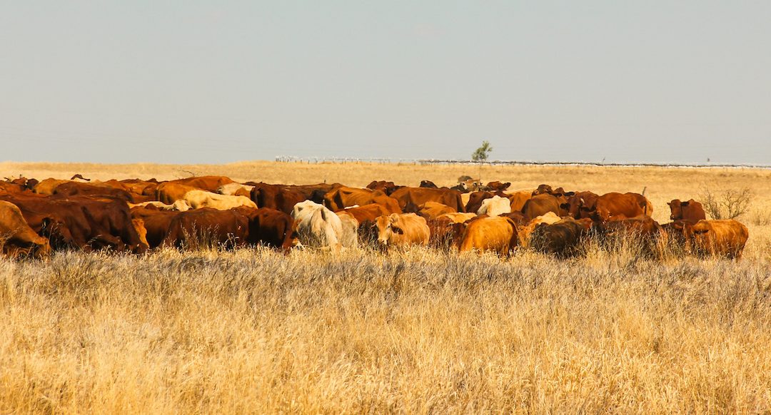
Plan your property for 2021
Plan your property for 2021 – better data leads to better decisions. As we come to the end of 2020, we understand that you haven’t stopped – you’re planning for 2021. Good planning is based on knowing where you are today then mapping out steps on how to...