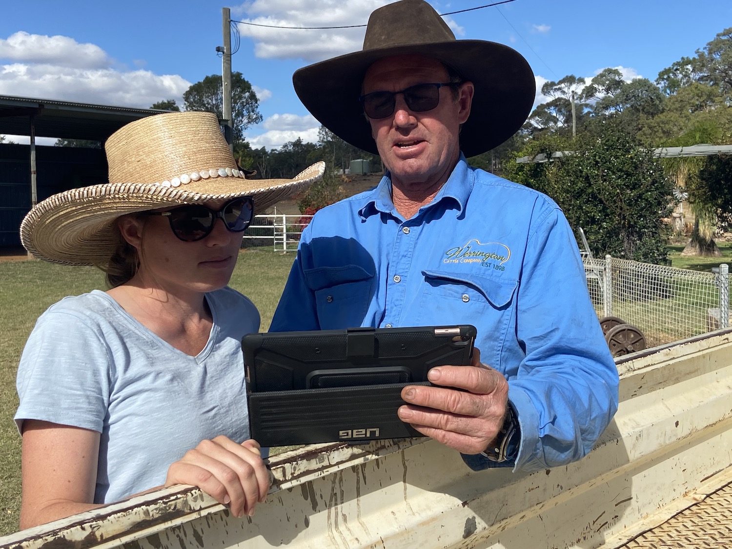
FarmMap4D is working
It was built from the ground up with graziers at the wheel leading to a tool that provides what graziers need and we see that interaction to remain key to the business.
The FarmMap team is working at improving the usability and design of the tool, working with partners to integrate more capability in the tool and working to improve support systems for clients.


FarmMap4D is a product of AxisTech. Click here to learn more about AxisTech and the other products on offer.
“It is probably the best use of investment dollars I have seen, demonstrated by its ability to achieve real outcomes relating to the environmental and financial sustainability of a grazing business”.
Russell, Queensland grazier
Now available!
An easy to use mapping solution that’s also easy on the pocket. Our Lite version of the tool will allow you to map your property, giving you a user-friendly map of your place, with key landmarks such as paddock lines and infrastructure.


All types of properties, mapped right.
The power of FarmMap4D
Infrastructure Mapping and Planning:
Map the location and details of existing or planned infrastructure across your property – fences, water points, roads and more.
Grazing Circle Analysis:
Create grazing circles from different climate and water planning scenarios. Provides area watered and unwatered across your property.
Water Infrastructure Planning:
Understand the elevation profile and on-the-ground distances when planning new water pipelines, fences, tracks or roads.
Mapping and Reporting:
Export tables, or publish user-defined geo-referenced maps or screen shots for printing for use on your desktop and mobiles devices.
Ground Cover Analysis:
Analyse changes in ground cover over the last 30 years for different paddocks or land types, and compare against similar land in the region.
Safe Carrying Capacity:
Combine land type, grazing circles, infrastructure and land condition to estimate long-term safe carrying capacity for paddocks within your property.
The benefits of FarmMap4D
Secure online access
Access comprehensive time series satellite and onground data securely through a simple online interface.
Map and monitor
Map and monitor ground cover, land infrastructure and changes in farm management practices to better understand your business.
Tailor analysis
Tailor proprietary applications to analyse and improve farm management profitability and investment decisions.
Improve sustainabiity
Support decisions on long-term safe carrying capacity and systematic monitoring of ground cover dynamics.
findings on farmmap4d
Grazier survey results
%
Has potential improve productivity
%
Found FarmMap easy to use
%
Saved between10-30 labour days per year
%
